
Walk a Five Corners Street
A useful Five Corners street directory starts with a normalized address and moves from land records toward name evidence. The parcel card can establish the situs, meaning the physical site address, and the abbreviated legal description. MapsOnline can then place that parcel among nearby taxlots. Recorded documents show parties to land instruments, while voter and historical sources have narrower rules and different dates. None of these records alone proves who sleeps at an address today.
- Enter the full address in the Clark County Assessor Property Information Center. Confirm the exact situs, unit, parcel number, and legal description.
- Open MapsOnline and use Find Parcel. Turn on taxlots and use Identify to inspect the correct feature, then check city, ZIP, and neighborhood layers separately.
- Follow the parcel card's Auditor Docs and Sales links, but verify each instrument in Landmark Web by parcel, party, filing number, or legal description.
- Use VoteWA only to verify a voter when the required name and birth date are already known. For street-scale voter data, follow the state extract rules and statutory limits.
- For an older household, compare the deed date with Vancouver or Clark County directory years. The Five Corners city directory collections explain the historical shelf in depth.
This sequence separates a tax account from an owner, and an owner from an occupant. It also saves the parcel ID before an old locality or street label sends the search off course.
Search Five Corners PIC Fields
The public Property Information Center, or PIC, accepts a tax parcel number, house number, or street address. A partial address may return candidates, so select the card whose situs and map location agree. Ordinary public web users cannot search PIC by owner name. County guidance reserves that route for employee, subscriber, or designated self-service computer access.
| PIC field | How to enter it | Street-directory use |
|---|---|---|
| Tax parcel or PAN | Numeric parcel or account ID | Opens the parcel card directly |
| House number | One to six digits under Treasurer guidance | Builds an address candidate list |
| Street name | Text; a partial address is accepted | Finds likely situs matches |
| Direction | NE, NW, E, N, S, or SW | Fixes many failed parses |
| Street type | Such as ST, AV, CT, or CR | Distinguishes similarly named roads |
| Unit | Optional subaddress | Separates unit-level legal descriptions |
| Owner name | Not offered in the ordinary public web search | Use a county self-service route or Auditor party search |
The resulting card may show the PIN, property type and status, tax status, situs, abbreviated legal description, and tabs for building, environment, taxes, recorded documents, permits, and sales. Those are parcel facts. They should not be rewritten as claims of present residence.
The live county interface shows these entry points clearly. Open the Five Corners address search at PIC before comparing the capture.
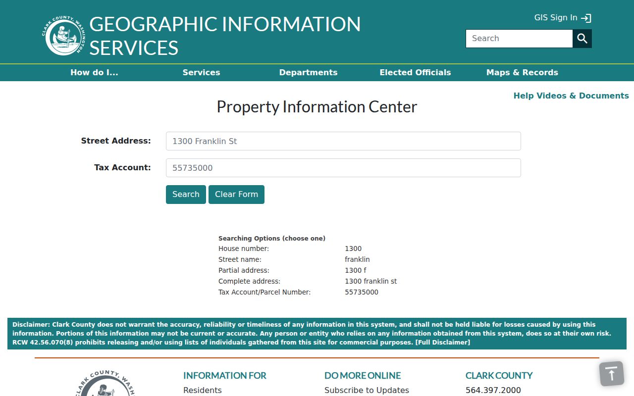
The screen confirms that a street search begins with address or parcel data, not a public owner-name field.
Map Five Corners Street Parcels
Clark County MapsOnline changes the street directory from a list into a map. Find Parcel accepts a parcel number, house number, or street address, including partial text. Once the map zooms to a result, the Identify control reads the selected layer's attributes. Taxlots show lot edges and adjacency. Current and historic aerials add site context, while subdivisions, annexations, sales, encumbrances, and survey plats help interpret the land trail.
Administrative layers are just as important in Five Corners. City boundaries, ZIP codes, census tracts, neighborhoods, precincts, schools, utilities, and public-safety areas do not always share one line. Turn them on one at a time and record the layer name and map date. A GIS ZIP layer is a geographic clue, not an exact USPS delivery result.
The public viewer demonstrates the Find Parcel and layer workflow. Visit MapsOnline for Five Corners taxlots before using the interface shown here.
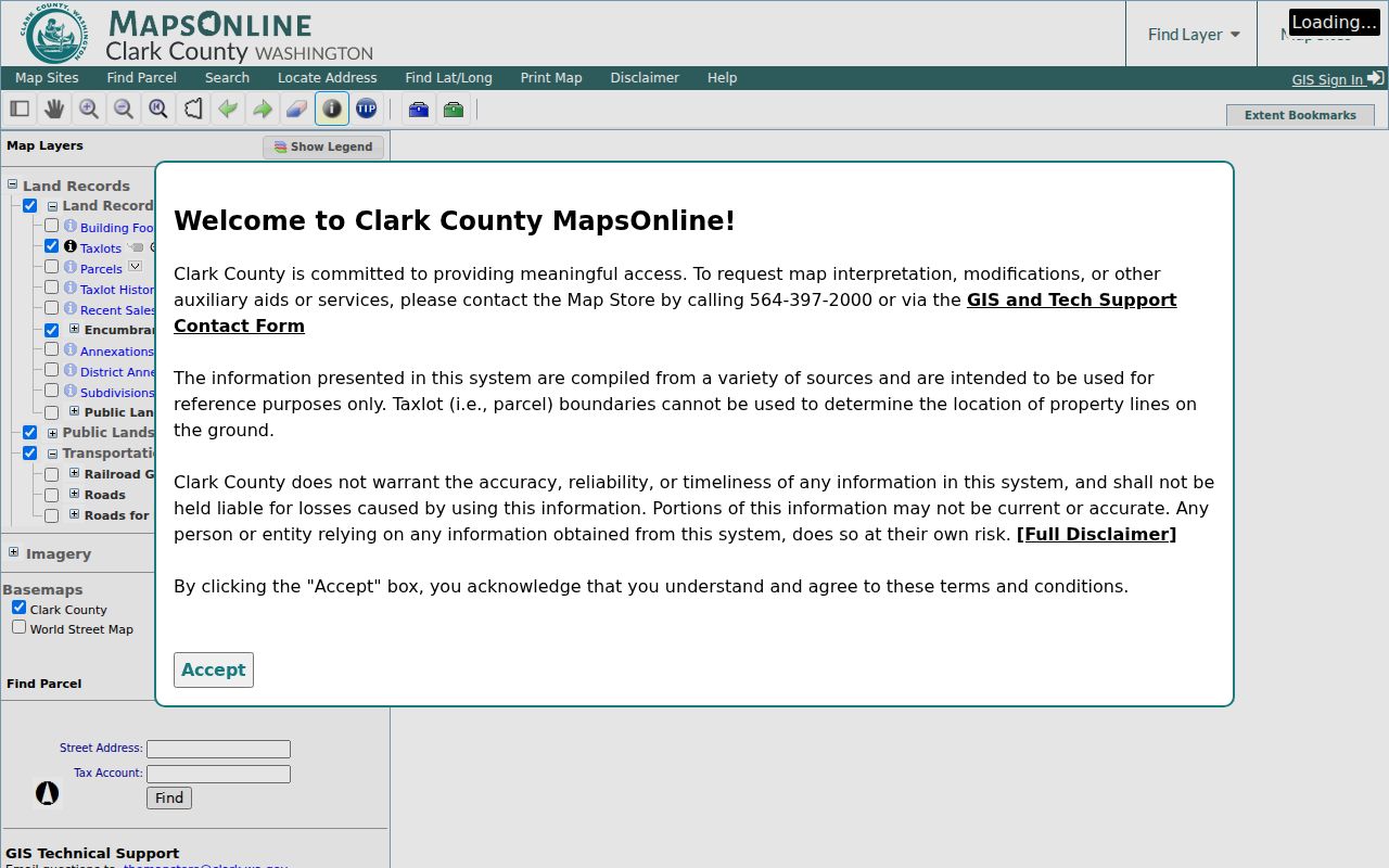
The map view makes it possible to inspect every taxlot along a road while keeping parcel geometry separate from personal identity.
Note: A street-wide taxlot view is a parcel roll, not a list of all Five Corners residents or household members.
Five Corners Address Record Set
Different custodians answer different questions about the same Five Corners street. Start with the source whose purpose matches the question, then carry forward the parcel number or exact address. When an online tool does not expose a file, use the documented counter, mail, or public-record request route.
| Record Set | Keeper | What It Shows | Access |
|---|---|---|---|
| Parcel card | Clark County Assessor | PIN, situs, legal description, status, tax and linked record tabs | Public PIC by address or parcel |
| Taxlot map | Clark County GIS | Parcel shape, adjacent lots, boundaries, aerials, and layers | Public MapsOnline viewer |
| Deeds, liens, and plats | Clark County Auditor | Instrument parties, date, filing number, and legal clues | Landmark and Archives; certified copies from Auditor |
| Voter record | Washington SOS and Clark Elections | Limited public registration fields and voting record | VoteWA or regulated extract route |
| Permits and site plans | Clark Community Development | Case type, date, status, and available documents | PIC, LMS, MapsOnline, or records request |
| Historical directory | State Library and CCHM | A listed person, address, or business at an edition date | On-site, digital resource, or research request |
The parcel number ties the assessor card to deeds, surveys, permits, and map layers. Street spelling can connect those facts to a public voter record or an old printed listing, but dates and access limits still control what each source means.
Open Five Corners Recorded Documents
Landmark Web supports more than a name search. A Five Corners street directory can move from a PIC parcel to the Parcel ID tab, then test Record Date, Auditor Filing Number, Legal or Advanced Legal, and Book/Page when those clues are known. The document menu includes deeds, deeds of trust, easements, liens, plats, reconveyances, releases, transfer-on-death deeds, and many other instrument types.
Each hit is an index to a recorded act. A party might be a lender, trustee, estate, business, or attorney rather than an occupant. Note the exact indexed party role, record date, filing number, parcel or addition, image status, and the search filters used. Landmark images are not certified. The Auditor's document request service provides in-person and mail routes for noncertified or certified copies.
The recorded-document tabs are visible in the county portal. Use the Five Corners Landmark search as the source for the interface below.
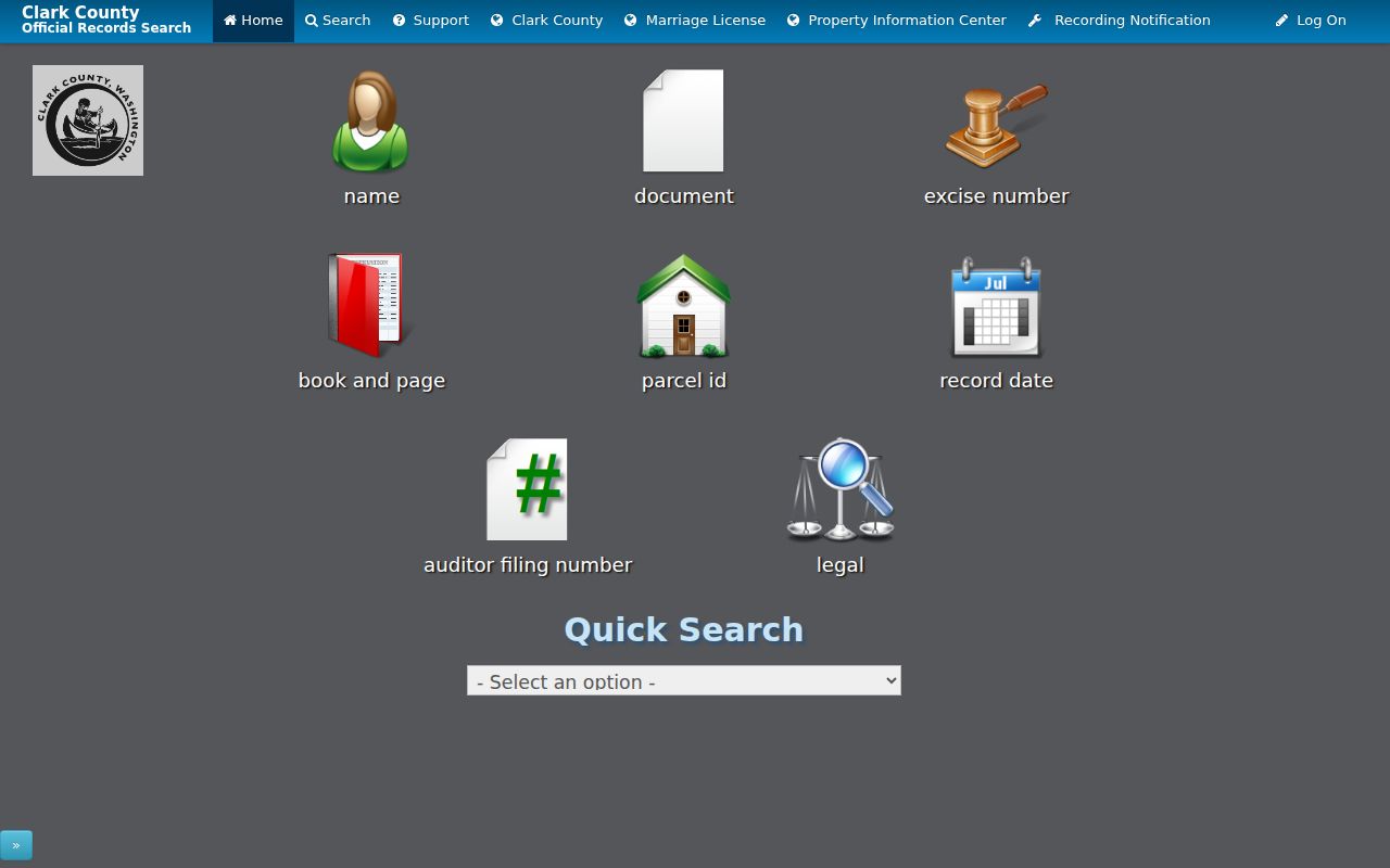
The tabs let an address-led search pivot from parcel to legal description, filing number, date, or party without treating the index as proof of occupancy.
Five Corners Permits by Address
The PIC Permits tab, county permit system, MapsOnline permit and site-plan layers, and property research guide can add a construction or development date to a Five Corners parcel. The development-review layer may show an active case point and number. That is a case clue, not a resident name.
If the digital file is incomplete, Clark County Community Development accepts requests for unincorporated planning, permit, map, and project records. Supply the address, parcel, permit, or project number. Older records vary because of system conversion and document availability. A Five Corners address inside Vancouver's boundary may instead require the city's records route, so check the city-limit layer first.
Five Corners Streets Change Labels
Five Corners is a Census-designated place and unincorporated community, not a city with its own address database. The 2007 planning frame used I-205, Vancouver city limits, SR-503 or 117th Avenue, and the railroad or urban growth line. Neighborhood descriptions add NE 76th Street, NE 94th Avenue, and NE 119th Street. Older sources may say Orchards, Vancouver, a rural route, subdivision, taxlot, or road segment instead of Five Corners.
Keep every confirmed form beside the parcel ID and legal description. Search both SR-503 and 117th Avenue when the date calls for it. Maple Tree and Sunnyside boundaries are useful map anchors, but neither name proves that a specific parcel belongs to a group. Postal language and county situs language can also differ.
- Parcel
- A mapped unit of land with a county identifier.
- Situs address
- The physical location of the parcel, distinct from an owner's mailing address.
- Plat
- A recorded map that divides land into lots, blocks, or a subdivision.
- Criss-cross directory
- A historical directory organized by address, allowing a reader to work from street to listed name.
Note: A stable parcel and legal description can bridge a Five Corners street-name change that defeats a simple text search.
Five Corners Voter Address Limits
VoteWA asks for first name, last name, and date of birth. It is best for checking a known voter's own registration context, not browsing every name on a road. Washington's public voter-file fields can include name, address, jurisdiction, gender, birth year, voting record, registration date, and registration number, subject to protected-record exceptions and use restrictions.
Clark County routes broader voter-information requests through the Washington Secretary of State. The statewide extract has its own process. Address Confidentiality Program and Protected Records Voter safeguards can lawfully substitute or withhold a residential address, so a missing street match is not proof that a person never lived nearby.
Five Corners Street Directory Limits
No official source provides a complete current-occupant list for a Five Corners street. A parcel card identifies taxable land and may name an owner in contexts allowed by the county. A deed identifies parties to an instrument. A permit documents a project. A voter record has statutory limits. Historical directories may omit people, lag a move, or file an unincorporated address under Vancouver or Orchards.
The best conclusion is narrow and dated: the parcel had a given situs when retrieved, an instrument named a party on its record date, or a directory listed a name in one edition. Do not turn a mailing address into a physical address, a tax owner into an occupant, or an absent public record into a negative fact.
Lawful use. Use Five Corners address records only for lawful personal research, such as family history, parcel study, or scam prevention. Never use them to stalk, harass, intimidate, or harm anyone.